Our Blog

"Sing the peasantry and then Hard-riding country gentlemen"   County Meath – known as “royal Meath” from its ancient connection and the Kings of Tara – is a country of democratically level pastures, royally rich grasslands, slow rivers and humid airs. Its wide fields are necessarily intersected by...

Errigal (2466ft) is the tallest peak in the ice-carved Donegal Highlands. With its furrowed sides and the white screes of broken quartz it is far and away the finest of all conical mountains in Ireland. It is best approached by way of Dunlewy and one...

Just over a mile North of the city centre is the district called Old Aberdeen. He name is misleading – although Old Aberdeen is certainly old, the area around Castlegate is older still. This part of the City was originally called Aulton, from the Gaelic...

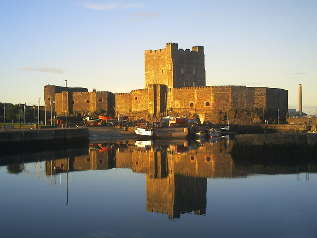
The traditional prophecy, attributed to St. Columbia, that “a stranger mounted on a white horse and bearing a shield of painted birds shall conquer Ulster” appeared to be fulfilled when John de Courcy headed the Norman invasion of Ulster in 1177. Gradually the Anglo-Norman overlords...

Dunluce (Dun Lios, the Fort of Enclosures) an Anglo-Norman castle build by Richard de Burgh, Earl of Ulster, about 1300, was taken by the Chief of the MacDonnell clan Somhairle Buidhe (Yellow Charles) in 1560 who reconstructed it. In the wars with the Tudor England,...

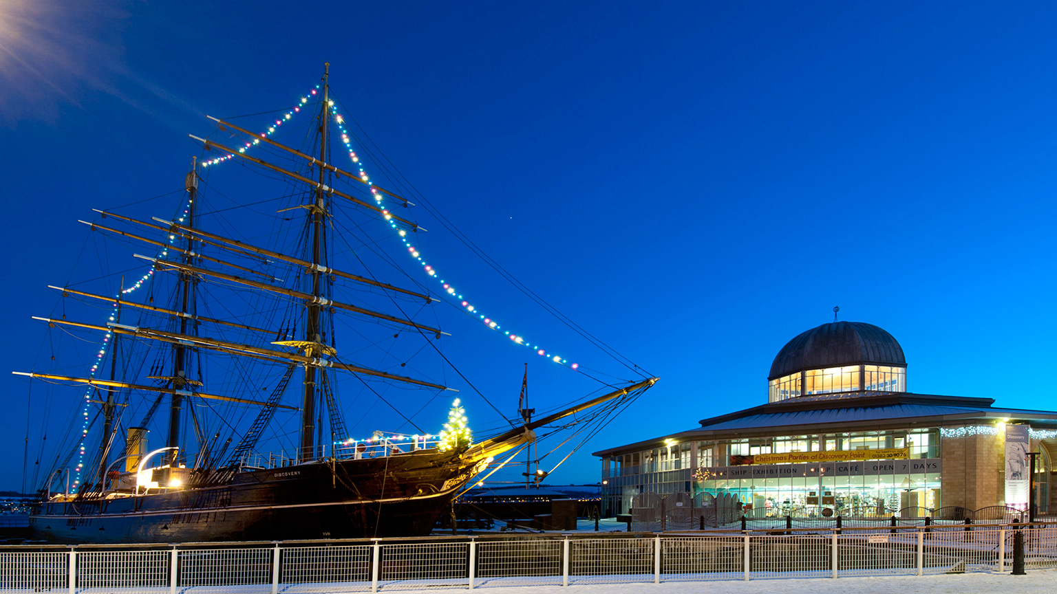
  Angus is a region of fertile farm land stretching north from Dundee- Scotland’s fourth largest city- to the Highland border. It’s an attractive area of broad straths (valleys) and low, green hills contrasting with the rich, red-brown soil of freshly ploughed fields. Romantic glens finger...

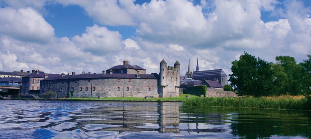
  Enniskillen (Inis Ceitleann, Ceithle’s Island) the capital of County Fermanagh illustrates very well the long, neat, narrow street of the Northern Irish agricultural town. It stands on the winding River Erne between Upper and Lower Lough Erne. At this strategic bridge head the Maguires, turbulent...

  Louth, the smallest of the Irish counties, lying between the Boyne Estuary and Carlingford Lough, bulks largely in Irish history, for it was always a border country and debatable land. It guarded the Gap of the North, the pass that runs from the plains of...

  West of Sligo town – which, except on the seaward side, is surrounded by mountains – the most striking feature of the landscape is the kill of Knocknarea (1,078 feet). On the south-west of the hill is the Glen of Knocknarea, a deep cleft nearly...

  The quiet coastal road which climbs up from the bay and village of Cushendun has its little hair-raising hills and hairpin drops leading to the most surprising landscape in Antrim, or indeed, in Ireland. To come unexpectedly upon lovely Murlough Bay with its high green...